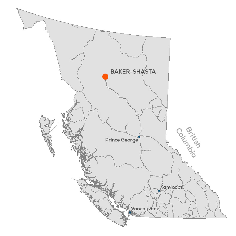
Baker Complex

Overview

In December 2020, TDG completed the acquisition of the Toodoggone asset portfolio of Talisker Resources Ltd. – including the former producing high grade gold-silver Baker and Shasta Mines. The mines are accessible by road 430 km northwest of Prince George, via Mackenzie and the Omineca Resource access route past Centerra Gold Inc.’s Kemess Copper Gold Mine.

The Baker Mine operated intermittently between the 1981 to 1997 until it was then placed on care & maintenance and reclamation status. There are 5 main veins in 6 defined zones. Two veins were mined (A and B Veins) producing 41,281 oz gold & 765,565 oz silver milled from 81,878 tonnes of ore.


Over 30,000m of historical drilling was completed at Baker with multiple untested prospects. Virtually none of the historical core was assayed for copper or any elements other than gold and silver. The Baker Mill, camp and tailings storage facility are still in situ.

In 2022, TDG identified the potential for multiple intrusive-related copper-gold-molybdenum porphyries to exist within the wider Baker property (hence, “Baker Complex”). The Baker Complex covers ~42 sq.km (4200 hectares).

In 2023, TDG began to relog and assay the historical Baker drillcore. Results published in July, August and September 2023 show broad, near surface porphyry-style copper-gold at the Baker B-Vein including previously unrecognized high-grade copper.

Also in 2023, TDG completed the first ever Lithic Drainage Sampling survey across the whole of the Baker Complex and Greater Shasta-Newberry. The results published in February 2024, show an extensive copper-gold signature across the Baker Complex. In particular it highlighted two key areas: Saunders; and Baker Mine-North Quartz.

In March 2024, TDG identified a brand new target within the Saunders area covering >5 sq.km and showing the correct geophysical and physiographical characteristics to host a copper-gold porphyry and which may start as shallow as ~600 metres below surface.

History

In 1824, explorer Samuel Black diarized many unusually colorful gossans in the headwaters of the Findlay River system. In 1915, prospector Charles McClair mined alluvial gold from the gravels of a creek north of Toodoggone Lake that would later bear his name. In 1929, Cominco explored several base metals showings in the region (Smith, 2019).

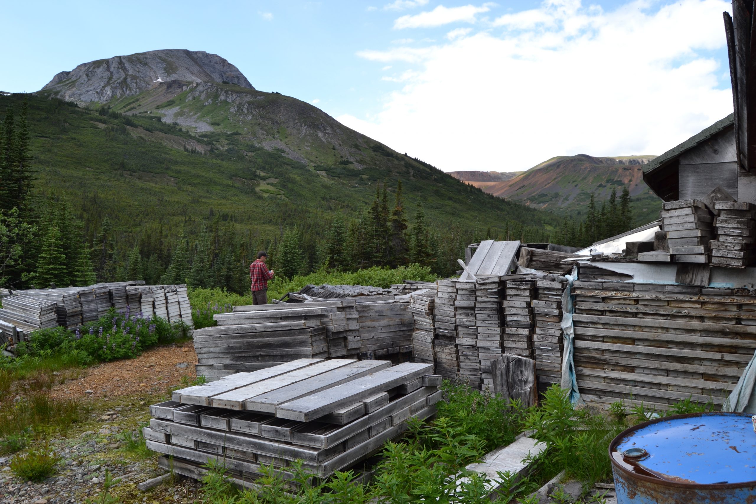
Kennco Explorations (Western) Limited staked the Chappelle claims in 1969. Conwest Exploration Ltd. optioned the property in 1973 from Kennco and constructed an airstrip at Blake Lake and a road to the property prior to dropping the option in 1974. DuPont of Canada Exploration Limited acquired the property in 1974 and in 1979 the decision to put the property into production Dupont/Baker mine was made. Multinational Mining Inc. acquired the mineral rights from Dupont in 1985. Sable acquired the Dupont/Baker mill infrastructure in 1989 from Dupont to process material from the Shasta mine, and subsequently acquired Multinational Mining Inc. and their claims (Smith, 2019).

The Baker group, formerly referred to as the Chappelle group, was discovered in 1969 by Kennco Explorations (Western) Limited. Several quartz vein structures were identified, which included the discovery of the ‘A’ vein.


A Vein

Conwest Exploration Ltd. optioned the property in 1973 and constructed an airstrip at Black Lake and a road to the property prior to driving a 200-metre adit to further the explore ‘A’ vein. Underground diamond drilling was carried out during this time, but no encouraging results were returned and the property option was terminated in 1988 (Carter, 1988).

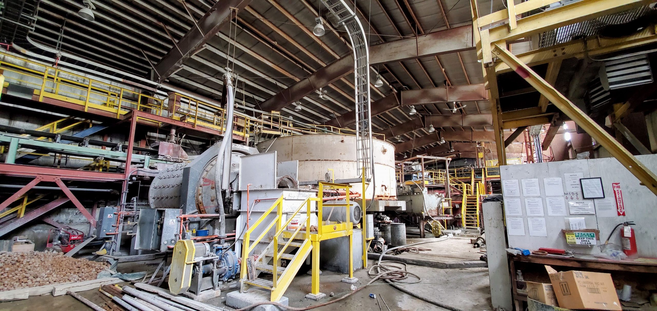
In 1974, DuPont of Canada Exploration Limited acquired the property and completed 8,700 metres of diamond drilling and 460 metres of underground development on the ‘A’ vein structure over a five year period. The mine was put into production as the Baker mine in 1979, and an airstrip was constructed at Sturdee River Valley to facilitate air freighting of all equipment which included a 90 tpd mill (Carter, 1988). Referred to as the DuPont/Baker ‘A’ deposit at the time, the Baker Mine was operated by DuPont Canada during the period of 1981 to 1983 as an underground and open-pit gold-silver mine. The operation involved a 90 tpd whole ore cyanidation plant, using the Merrill-Crowe process (Carter, 1988). Sable acquired the Baker site, including the processing facility in 1989 and subsequently modified it to a flotation circuit with optional concentrate cyanidation (Smith, 2019). The A-vein saw the majority of its exploration between 1974 and 1984, with a total of 12,381 metres of drilling completed over 159 holes (Smith, 2019).


B Vein

The Multinational ‘B’ deposit, located adjacent to Adit Creek and upstream of the ‘A’ deposit, was a high grade gold-silver-copper deposit from which flotation concentrates were shipped off-site. This mine was intermittently operated by Sable between 1991 and 1997 (Craft, 2003).

No reliable historical resource or reserve estimate could be located for either the Multinational ‘B’ or DuPont ‘A’ deposits. Craft (2001) reports that DuPont of Canada Exploration Ltd. produced 95,000 tons from the DuPont ‘A’ between 1981 and 1983, at an average production grade of 0.9 oz/t gold equivalent and that Sable produced 17,500 tons from the Multinational ‘B’ deposit at a grade of 0.5 oz/t gold, 5 oz/t silver, and 1% copper (Smith, 2019).

The B-vein saw the majority of its exploration between 1986 and 1988, with a total of 11,935 metres of drilling completed over 104 holes (Smith, 2019).
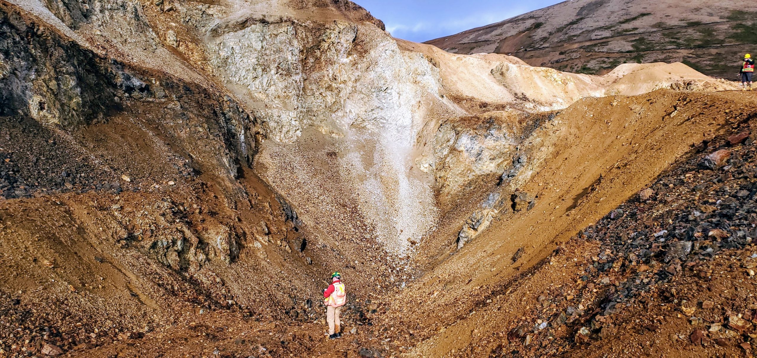
 

Black Gossan

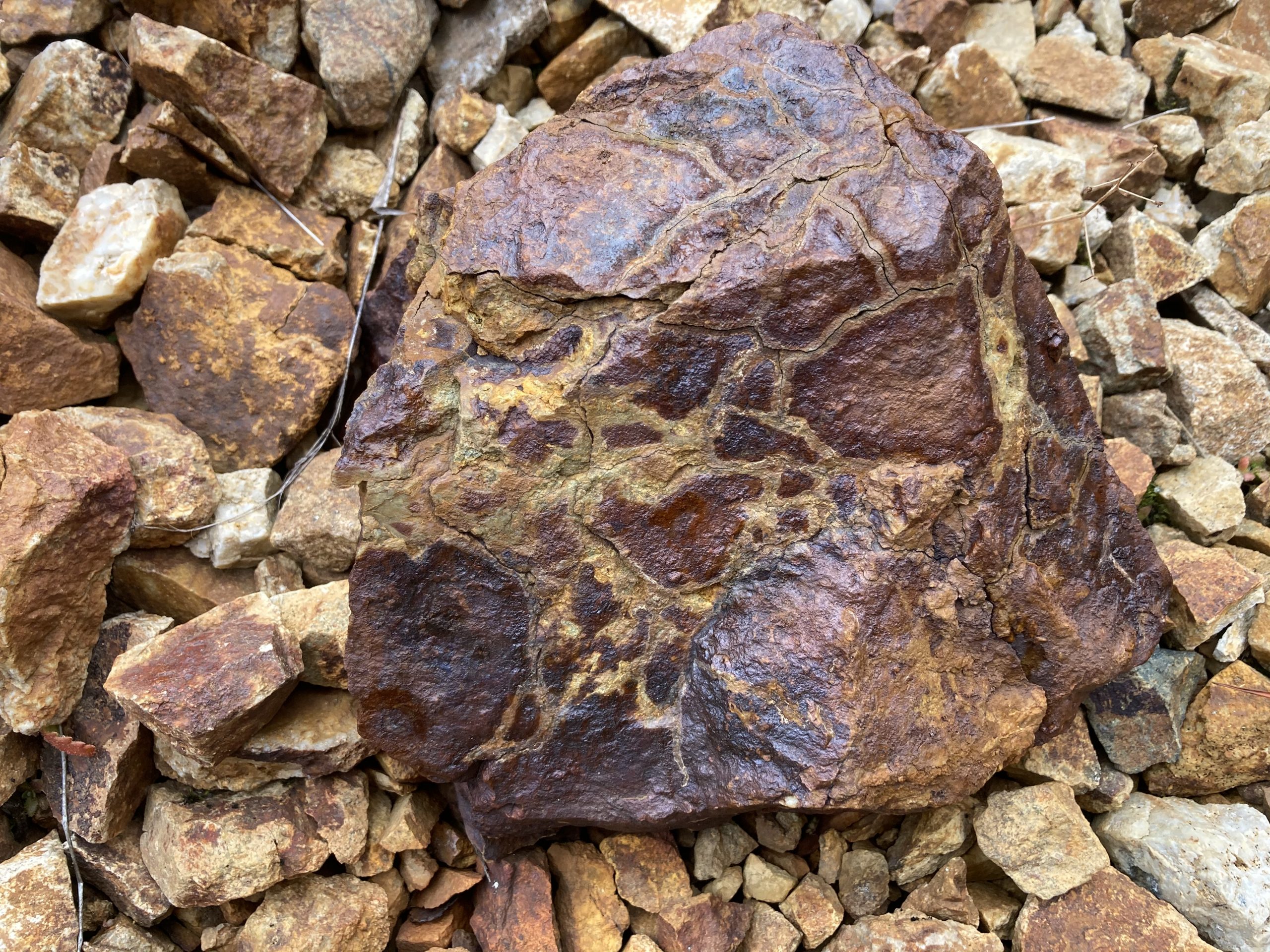
The Black Gossan target saw sporadic exploration between 1997 and 2017. In 2002, at the Black Gossan, 9 Diamond Drill holes were drilled by Sable, two trenches were excavated and a soil grid was expanded (ARIS, 2020). In 2004, Sable drilled three holes into the Black Gossan Zone. This was to be a progressive program that explored deeper into the zone. The deepest hole that was to go 600 m was stopped at 166.76 m due to squeezing ground. The drilling did demonstrate that a copper-gold system exists and is increasing in grade with depth (ARIS, 2020). In 2006, at the Black Gossan, Sable Resources drilled two NQ sized diamond drill holes, totaling 170.7 metres. These were abandoned at the porphyry target due to poor ground conditions. The holes intersected propylitic altered Takla Group volcanics over their entire length. Pyrite accounted for 1 to 2 per cent and was the only sulphide noted. No assays were completed (ARIS, 2020). In 2017, 3 of the 5 diamond drill holes tested the Black Gossan zone; BK17-01, BK17-02, and BK17-05. The total metres drilled on the Black Gossan zone in 2017 was 1,153.97 metres of the 1,811.86 drilled metres completed that year.

Property Geology

The Baker section of the Property are primarily underlain by an uplifted fault block of Takla Group volcanic rocks in thrust contact with Asikta limestone and both having been intruded by quartz monzonite of the Black Lake stock. The stock is exposed at the southern margin of the property, and has locally altered the limestone to an epidote-diopside skarn along their contact. The limestone also occurs towards the south of the property, and forms the prominent cliffs of Castle Mountain. Broken and iron-oxide stained augite phyric andesite to basalt flows of Takla Group are the dominant rock types on this part of the property, and are the principal host of mineralization at the DuPont/Baker ‘A’ and Multinational ‘B’ deposits. To the north, upper cycle Toodoggone formation volcanics of Diakow (1990) are present in fault contact with Takla Group rocks. Numerous hornblende-feldspar porphyritic apophyses of the Black Lake stock intrude and brecciate the Takla host rocks. The similar composition to the overlying Toodoggone volcanics suggests that these may be feeders for the overlying volcanism (Smith, 2019).

Dominant structures on the Baker section of the Property consist of steeply dipping normal faults, and north to northwest-trending strike-slip faults. One of the latter (the Saunders fault) borders the Shasta deposit to the east, and has an estimated ~5 km right-lateral displacement (Diakow, Panteleyev, & Schroeter, 1993). Several of the Toodoggone area deposits, including Lawyers, Baker, and Shasta, lie near northwest-trending faults. Diakow (1990) proposed that these deposits lie along the margin of a fault-bounded trough which may have ponded later volcanics and localized hydrothermal fluids during extension (Smith, 2019).

Alteration for the property consists of regional scale propylitic alteration of chlorite-epidote +/- calcite and pyrite. At the deposit scale, the Chappelle group of claims has undergone intense propylitic chlorite-epidote-pyrite alteration, and locally strong sericitic alteration (Smith, 2019). Numerous hornblende-feldspar porphyritic apophyses of the Black Lake stock intrude and brecciate the Takla host rocks. The similar composition to the overlying Toodoggone volcanics suggests that these may be feeders for the overlying volcanism. The largest of these, intrusions, the Black Lake stock, extends 9 kilometres southeast from the Baker property. Its composition varies from granodiorite to quartz monzonite. The main portion of this porphyry unit lies at the fault contact between Asitka Group and Takla Group rocks near the western end of the A vein. Dike-like apophyses of this body, varying from 1 to 30 metres in thickness, subparallel and intersect the northeast extension of the A vein (Smith, 2019).

Mineralization

Propylitic and sericitic alteration on the property has weathered areas to a gossanous rust color. An assemblage of quartz-sericite-chlorite-pyrite gives way to an argillic clay assemblage proximal to veins. Milky quartz veins are the principal host to economic mineralization, and commonly exhibit polyphase breccia, and vuggy textures. Gold-silver mineralization is associated with pyrite, sphalerite, galena and chalcopyrite, with precious metal mineralization in the form of electrum and acanthite (Smith, 2019).

Mineralization occurs within steeply dipping structures on the property, commonly with a northeast strike. Host rocks are variably silicified and altered to sericite, clay minerals and carbonate with intensity increasing with proximity to vein structures (Smith, 2019).

The Dupont/Baker ‘A’ vein is a fault-controlled quartz vein system composed of two or more subparallel veins which strike northeast and dip from 80 degrees southeast to approximately 70 degrees northwest. The quartz vein system has been traced for a strike length of 435 metres and across a width varying from 10 to 70 metres. Individual veins within the system vary from 0.5 to 10 metres in width. Drilling indicated that the vein system persists for at least 150 metres vertically from surface.

The A vein system is cut by numerous cross faults which offset portions of individual veins, commonly for 1 to 15 metres. Most of the faults are northwest striking normal and reverse faults dipping to the northeast, and dip-slip strike faults dipping at shallow angles, generally to the southeast.  Host rocks in the hangingwall are badly broken. The quartz vein is broken into segments less than 30 metres in length. A variety of quartz vein textures and crosscutting relationships indicate a complex history of veining with multiple depositional stages (Smith, 2019).


Gold-silver values are generally associated with highly fractured and occasionally brecciated white to grey, vuggy quartz veins containing 1 to 10 per cent pyrite, and to a lesser extent occur in silicified wallrock. Xenoliths of altered andesite and dacite frequently occur in the veins. The only other common gangue mineral is carbonate, which fills fractures (Smith, 2019).

Higher grade mineralization is associated with grey quartz, which occasionally contains visible argentite, commonly associated with disseminated grains of pyrite, chalcopyrite and very minor sphalerite. High grade gold-silver values occasionally occur in narrow (1 to 5 centimetres) crosscutting silicified shears. Visible gold is rare. Significant precious metals were found to be contained in a flat-lying shoot 200 metres in length by 3 metres wide and extending to a depth of 40 metres below surface (Smith, 2019).

Reports

Below is a library of recent and historic reports for the project. Click on the link next on the last column to view (opens in a new window).

TitleAuthorsYearLink
NI 43-101 Technical Report - Baker-Shasta-Oxide Peak PropertyTDG / SGDS Hive2020PDF
An Exploration Framework for Porphyry to Epithermal Transitions in the Toodoggone Mineral District (94E)MDRU2019PDF